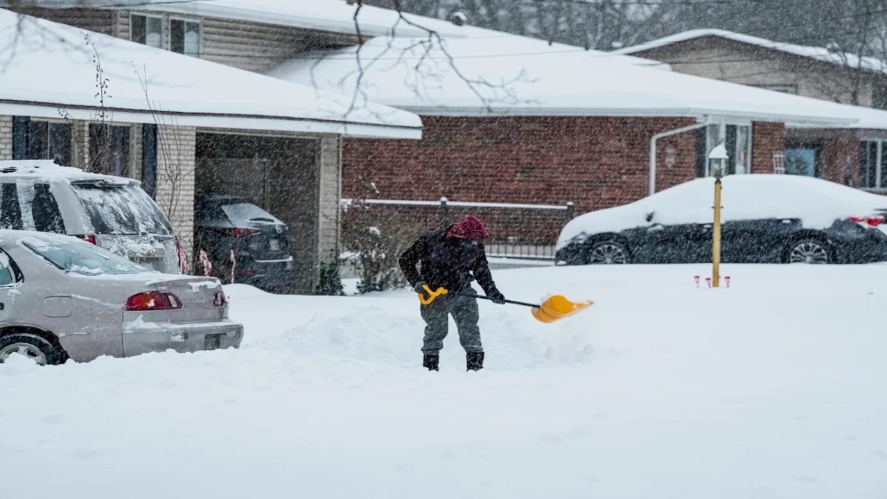
Ohio Weather Alert: Up to 5 Inches of Snow Expected in Trumbull County Later This Week
Trumbull County residents should prepare for a wintry end to the week, as forecasters warn of accumulating snowfall and colder temperatures expected to arrive late Thursday into Friday. The system could bring enough snow to slow down travel and create potentially hazardous conditions across the region.
Snowfall Forecast: What to Expect
Forecasters predict 3 to 5 inches of snow across much of the county, with some neighborhoods possibly seeing slightly higher totals depending on the intensity and track of the storm. The snowfall is expected to begin late Thursday evening, gradually increasing overnight before tapering off Friday morning.
Temperatures will hover around freezing, which means snow may stick quickly to untreated roads and sidewalks. Light winds accompanying the system could also create areas of blowing snow, reducing visibility for drivers.
Impact on Travel and Daily Activities
The incoming snow is likely to affect:
-
Morning and evening commutes
-
School and work schedules
-
Local road conditions, especially in rural or less-maintained areas
-
Outdoor plans, as cold and slick conditions may make travel unsafe
Drivers are encouraged to slow down, allow extra braking distance, and keep headlights on during periods of reduced visibility.
How Residents Can Prepare
To stay safe and ready for the storm, officials recommend:
-
Clearing driveways and walkways early to prevent ice buildup
-
Checking vehicle tires, wipers, and fluids before traveling
-
Keeping a small emergency kit in cars, including blankets and a flashlight
-
Monitoring local weather updates for any changes or new advisories
Residents should also check on elderly neighbors or those without reliable heating, as colder conditions may be uncomfortable or unsafe for vulnerable individuals.
Cold Weekend to Follow
After the snowfall ends, temperatures are expected to remain chilly through the weekend, with highs near freezing and low wind chills at night. Any remaining snow on untreated surfaces may turn to ice, creating ongoing slick spots.
While this storm is not expected to be extreme, the timing and cold ground temperatures mean even a few inches of snow could cause significant disruption. Staying prepared and cautious will help minimize risks as Trumbull County moves into a wintry stretch.

Pulkeet Gupta is a dedicated content writer specializing in the field of education and entertainment niche. With a passion for learning and a keen interest in sharing knowledge, Pulkeet has established himself as a prominent figure in the education and entertainment writing community.