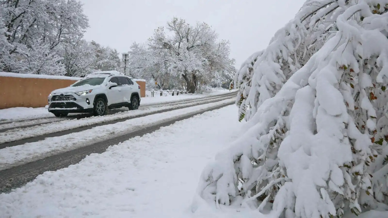
Northern New Mexico Snow Advisory Issued: Up to 3–10 Inches Expected Through Friday
Northern New Mexico is bracing for a significant round of winter weather as a new Snow Advisory has been issued for several high-elevation and valley regions. Forecasters warn that residents should prepare for 3 to 10 inches of accumulating snow through Friday, with the heaviest snowfall expected in mountain areas.
A Strong Winter System Moving In
A cold front sweeping across the Southwest is bringing moisture, falling temperatures, and strengthening winds. As the system tracks east, colder air is expected to push into northern counties, creating ideal conditions for steady snowfall.
Mountain communities may face travel delays, difficult road conditions, and reduced visibility, especially overnight and early morning when temperatures dip below freezing.
Who Will Be Most Affected?
The advisory primarily impacts:
-
Northern mountain ranges
-
High-elevation communities and passes
-
Valley areas near the Colorado border
-
Travel routes connecting northern towns and tribal lands
Lower elevations are expected to see lighter totals, but even minor accumulation could make roads slick due to rapidly dropping temperatures after sunset.
Expected Snowfall Totals
-
Higher elevations: 6–10 inches
-
Mid-range elevations: 4–7 inches
-
Valleys: 2–4 inches
Forecasters caution that totals may rise if moisture bands stall or strengthen over specific areas.
Travel Impacts and Safety Concerns
With snow expected to fall steadily through Friday, drivers should be prepared for:
-
Snow-packed or icy roads
-
Low visibility in heavier bands
-
Sudden wind gusts across open terrain
-
Longer travel times on rural highways and steep mountain roads
Officials are urging travelers to check conditions before heading out, carry emergency supplies, and allow extra travel time.
Local Response
Road crews across northern counties are preparing snowplows, sanding equipment, and emergency response teams to handle potential issues during the advisory period. Schools and local authorities may adjust schedules if conditions worsen overnight.
Residents are encouraged to:
-
Keep vehicles winter-ready
-
Monitor local weather alerts
-
Secure outdoor items ahead of strong wind gusts
-
Stay indoors during the heaviest snowfall
Colder Weather to Follow
Behind the storm system, colder air will remain in place through the weekend. Overnight lows may drop well below freezing, causing any leftover snow or slush to harden into ice. Daytime temperatures will stay below normal, prolonging winter-like conditions across the region.
What to Expect Next
Forecasters will continue to monitor the system for any strengthening or shifting in track. Additional updates, including extended advisories or warnings, could be issued if snowfall becomes heavier than expected.

Pulkeet Gupta is a dedicated content writer specializing in the field of education and entertainment niche. With a passion for learning and a keen interest in sharing knowledge, Pulkeet has established himself as a prominent figure in the education and entertainment writing community.