Indianapolis Weather Alert: Coldest Air of the Season Arrives Tonight
Indianapolis is preparing for its coldest night of the season as a strong blast of Arctic air moves across central Indiana. Temperatures are expected to drop sharply after sunset, bringing freezing conditions that will last through early tomorrow morning.
Sharp Temperature Drop Expected
Forecasters say temperatures will fall into the low 20s across the metro area tonight, with wind chills dipping into the teens. The sudden shift follows a stretch of milder days, making tonight’s cold snap feel even more intense for residents heading out in the evening or early morning.
Frost and Ice Possible Overnight
With the rapid cooling, patchy frost and slick spots are possible on bridges, overpasses, and untreated roads. Drivers are advised to use caution, especially during the early morning commute when surface temperatures will be at their lowest.
Impact on Outdoor Activities
Anyone planning to be outdoors tonight should be prepared for bitter wind chills. Layered clothing, hats, and gloves are strongly recommended. Local shelters are also preparing for higher overnight demand as temperatures fall below freezing.
Cold Pattern Continues
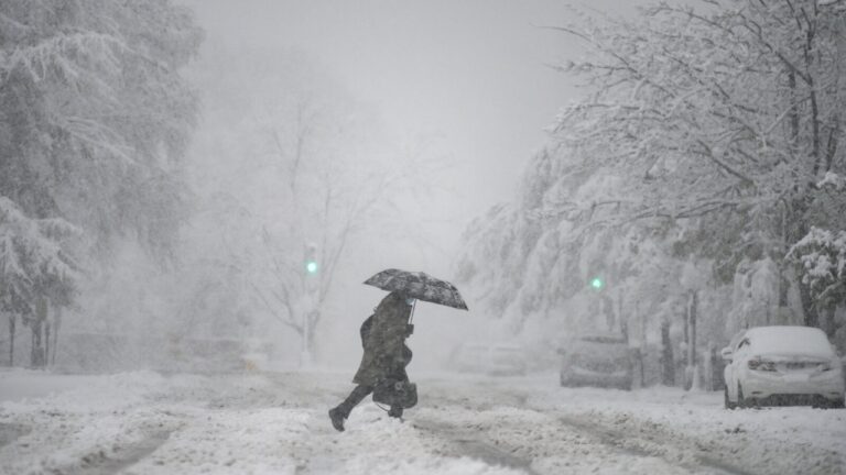
While temperatures will rebound slightly during the day tomorrow, another cold night is expected, and the region may see additional freezing mornings through the week. Light snow showers or flurries could also develop later in the week as colder air continues to influence the region.
Tips to Stay Safe in the Cold
-
Protect pets and bring them indoors at night
-
Cover outdoor plants or move them inside
-
Allow faucets to drip to prevent frozen pipes
-
Check on elderly neighbors or family members
Meteorologists say this may be the first of several cold waves moving into Indiana as winter approaches. Residents should stay updated on upcoming forecasts and be prepared for more freezing temperatures in the days ahead.

Pulkeet Gupta is a dedicated content writer specializing in the field of education and entertainment niche. With a passion for learning and a keen interest in sharing knowledge, Pulkeet has established himself as a prominent figure in the education and entertainment writing community.