Winter Storm to Bring Snow, Ice, and Strong Winds Across Central New York and Northeast Pennsylvania Through Thursday
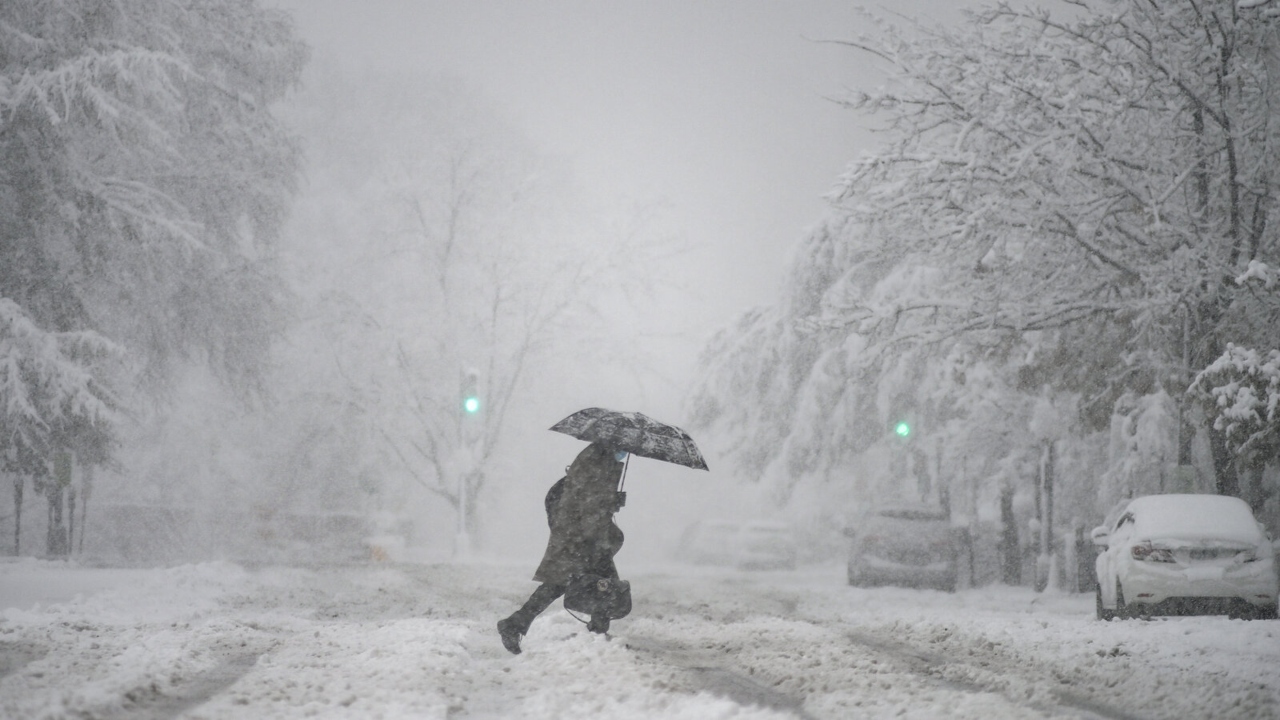
Central New York and Northeast Pennsylvania are bracing for several days of disruptive winter weather as a fast-moving storm system sweeps across the region. Forecasters warn that a mix of snow, sleet, freezing rain, and gusty winds will create hazardous travel conditions from today through Thursday.
Storm System Expected to Intensify
A surge of colder air, paired with moisture pulling in from the south, is setting up a prolonged period of wintry precipitation. The storm will vary in strength depending on location, but most areas should expect:
-
Steady snow at higher elevations
-
A wintry mix or freezing drizzle in valley communities
-
Strong winds capable of blowing snow and reducing visibility
Travel impacts are expected to worsen during the morning and evening commute hours, when road temperatures are at their lowest.
What Different Areas Can Expect
Central New York
Hilly and mountainous areas are likely to pick up several inches of snow, especially regions north and east of Syracuse and areas stretching toward the Mohawk Valley.
Northeast Pennsylvania
Lower-elevation communities could see more mixing, with light snow transitioning into pockets of sleet or freezing rain. Even a thin coating of ice on bridges and back roads can make driving unexpectedly dangerous.
Potential Impacts
Residents are being urged to prepare for:
-
Slippery roads and sidewalks
-
Reduced visibility due to blowing snow
-
Longer travel times
-
Possible scattered power disruptions in windy areas
-
Icy patches in shaded or untreated locations
Public works crews are preparing salt and plow operations, but officials warn that changing precipitation types will make road treatment more challenging.
Safety Tips for the Coming Days
-
Limit travel when possible, especially during early morning or after sunset.
-
Keep vehicles stocked with winter essentials such as blankets, chargers, and emergency supplies.
-
Walk carefully on sidewalks and steps, which may refreeze quickly.
-
Stay informed with updated weather forecasts as conditions may shift hour by hour.
-
Check on elderly neighbors or anyone who may need assistance during cold, icy weather.
The storm is expected to ease late Thursday, but lingering cold air may keep roads icy into Friday morning. Another round of light snow could follow, depending on weekend temperature trends.
Residents are encouraged to stay alert, move cautiously, and prepare for several days of true winter weather as December continues to settle in across the region.

Pulkeet Gupta is a dedicated content writer specializing in the field of education and entertainment niche. With a passion for learning and a keen interest in sharing knowledge, Pulkeet has established himself as a prominent figure in the education and entertainment writing community.