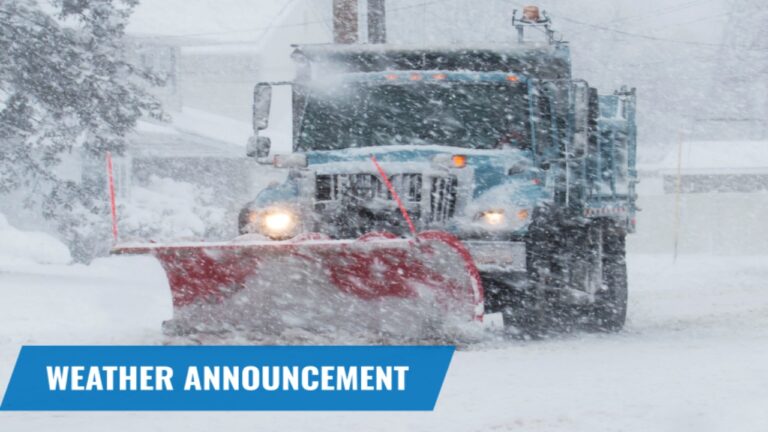
Idaho Weather Alert: Snow and Wintry Mix Expected Across Northern Counties Dec. 20–Jan. 2
Northern Idaho is gearing up for an extended stretch of winter weather as a series of cold systems is expected to bring snow, freezing rain, and icy conditions from December 20 through January 2. With the holiday season approaching, residents and travelers are being urged to prepare for potentially hazardous road conditions and major shifts in temperatures.
Long Duration Winter Pattern Moving In
Forecasters say a steady wave of storm systems will move across Idaho’s northern and mountain regions over the next two weeks. The pattern is expected to bring frequent bursts of snow to higher elevations, while valleys may experience light snow, sleet, or freezing rain depending on day-to-day temperature changes.
Mountain towns, ski areas, and passes could see multiple rounds of accumulating snow, with totals building significantly over the 13-day window. Some areas may receive light daily snow, while others could be hit with heavier, more impactful storms.
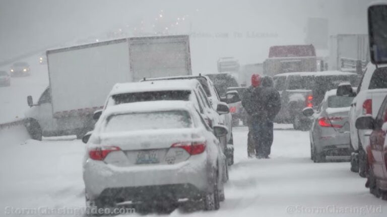
Travel Could Become Difficult
With snow and mixed precipitation arriving in waves, drivers should expect changing conditions throughout the period. The potential impacts include:
-
Snow-covered roads, especially in mountain passes
-
Freezing rain or slushy surfaces in lower elevations
-
Reduced visibility during heavier bursts of snow
-
Longer travel times on highways and rural routes
-
Possible closures in higher-risk areas
Those planning holiday trips are advised to monitor weather updates closely and avoid traveling during the peak of storm activity.
Slippery Conditions for Communities and Rural Areas
Residents in northern counties such as Boundary, Bonner, Kootenai, Shoshone, and Clearwater may see a mix of winter outcomes. Snow is expected to accumulate in shaded neighborhoods, along hillsides, and on untreated roads. Overnight refreezing could create black ice each morning, making walking and driving more dangerous.
Homeowners should also prepare for heavier snow buildup on roofs, tree limbs, and porches in heavily affected zones.
Cold Air Locking In
Temperatures across the region are projected to remain consistently cold, allowing snow to accumulate easily and ice to linger longer than usual. Winds may pick up at times, leading to blowing snow in open areas and reducing visibility during commutes.
How Residents Can Prepare
With winter conditions expected to persist through early January, safety officials recommend:
-
Stocking up on essentials before major snowfall
-
Carrying emergency gear in vehicles
-
Using snow tires or chains when traveling through mountain routes
-
Clearing walkways and driveways frequently to prevent ice layers
-
Watching for updated alerts and advisories
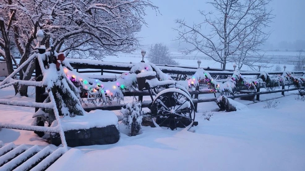
A Wintry Holiday Stretch Ahead
From Christmas through New Year’s, northern Idaho is set to experience a classic winter pattern — cold, unsettled, and snowy. While the weather brings challenges for travel and daily routines, it also sets up ideal snow conditions for skiing, snowmobiling, and winter recreation across the mountains.
The extended wet and chilly stretch serves as a reminder for residents to stay alert, stay prepared, and travel with caution as winter tightens its grip on the region.

Pulkeet Gupta is a dedicated content writer specializing in the field of education and entertainment niche. With a passion for learning and a keen interest in sharing knowledge, Pulkeet has established himself as a prominent figure in the education and entertainment writing community.